The pieces are falling into place - Accomplishments of the DataXplorers cross-community hackathon 2023
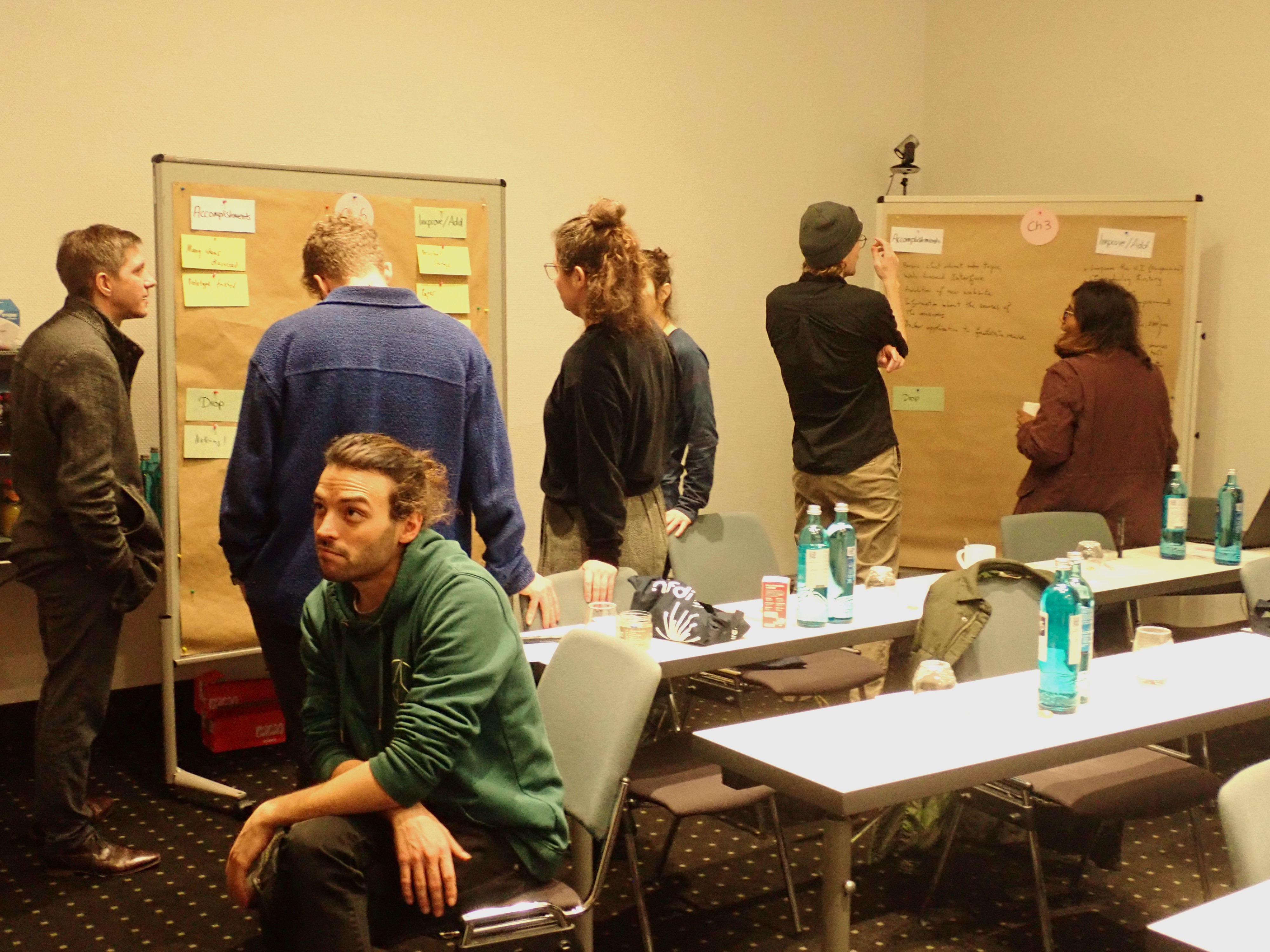
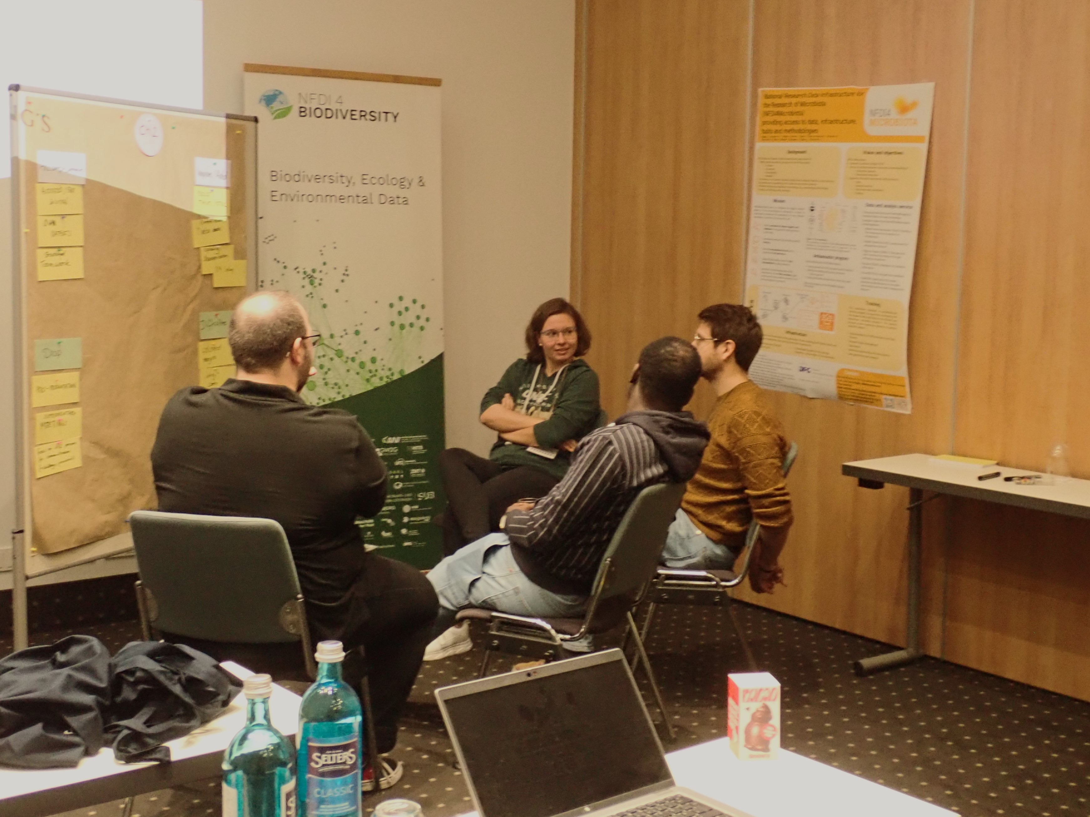
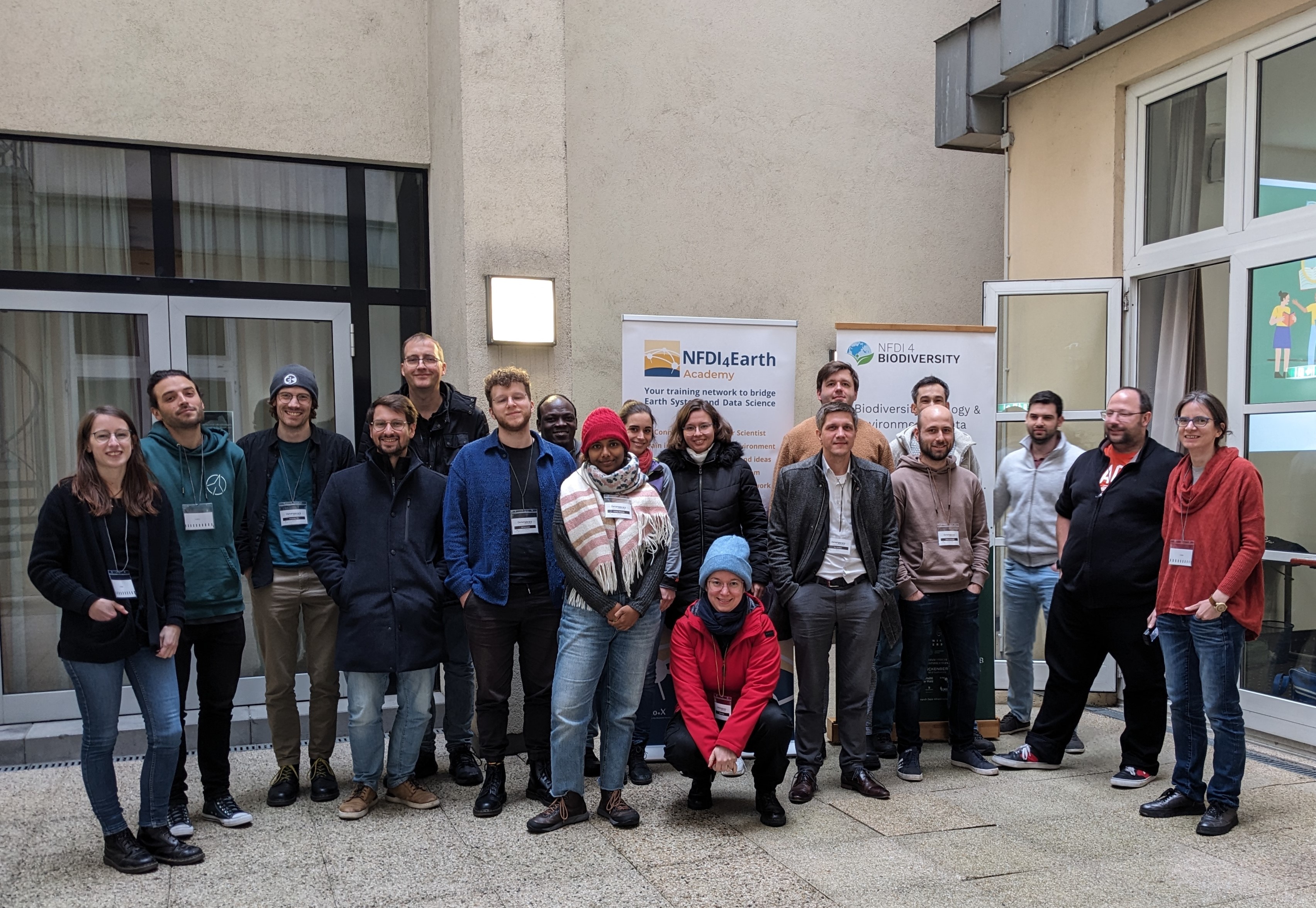
Our DataXplorers cross-community hackathon concluded with an inspiring hybrid event on December 5 and 6 in Frankfurt am Main. Challenge providers, participants of the hackathon, and interested audiences from the community came together to present the accomplishments of their work, engage in discussions about future steps, and foster valuable connections. The event was joined by 20 in-person and 29 remote participants from 28 different institutions.
The hackathon was jointly organized by the NFDI4Earth Academy, NFDI4Biodiversity, and NFDI4Microbiota and focussed on developing tools and working on data bridging the different communities. The technical infrastructure was provided by de.NBI. Several Several NFDI4Earth partners from the Bavarian State Archives (GDA),
Bielefeld University, Leibniz Institute of Ecological Urban and Regional
Development, Max Planck Institute for Biogeochemistry, and TU Dresden were planning and supervising the hackathon challenges. The DataXplorers hackathon started with an online kick-off event on October 23 and offered six challenges, four of which were actively pursued.
The teams achieved astonishing results within only six weeks of working time. All results, along with a comprehensive report, will soon be made publicly available in the DataXplorers Zenodo Community. We extend our sincere gratitude to all participants, organizers, and partners for making the DataXplorers hackathon a success.
What was achieved in the challenges?
Challenge 2 was jointly organized by partners of the Bavarian State Archives and the Leibniz Institute of Ecological Urban and Regional Development (IOER). During the hackathon, three teams worked towards the aim of an automatic colour inspection of directories or collections of scanned historical maps, their sorting according to colour information, and the determination of land use classes. Each team found its own approach to tackling the challenge. Further, a total of 60 historical maps were digitized and will be made publicly available in the process.
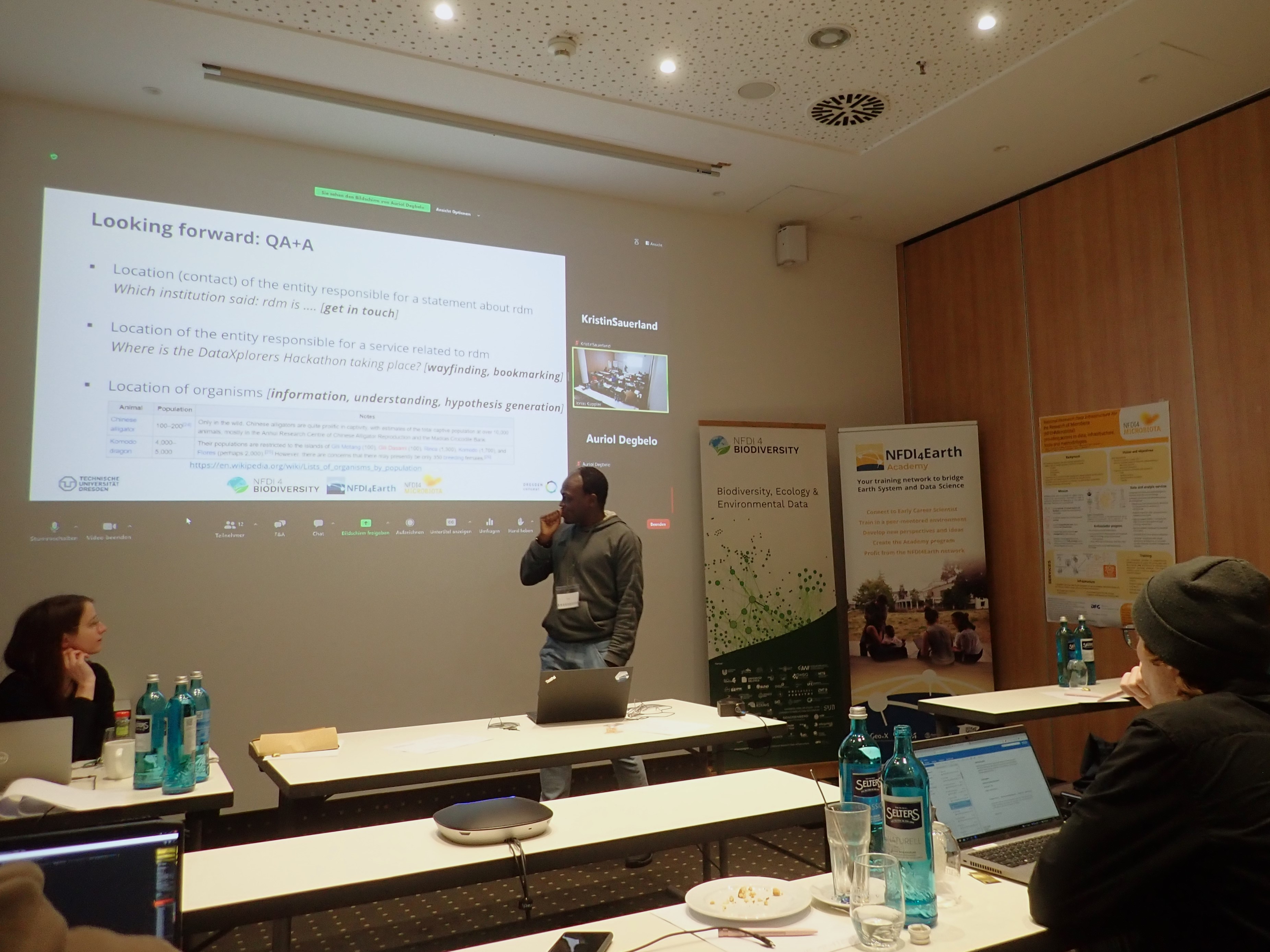
In challenge 3, led by partners of the TU Dresden, the team developed a prototype version of a web- and large language model-based Q&A tool that assists researchers in finding answers on RDM topics. The goal is to further develop this prototype and to bring it to usein the context of an NFDI-wide service.
A more educational approach was pursued in challenge 5, organized by partners of the Max Planck Institute for Biogeochemistry, where several teams were introduced to work with data cubes. The teams learned how to link climatological datasets to species distribution data and, thus how to access data from different sources, and to combine vector data and data cubes.
Challenge 6 was led by partners of the Leibniz-Institut für Analytische Wissenschaften (ISAS) and developed the prototype of a user-friendly web service that transfers metaproteomics data into standard formats and enriches them with further information and metadata. The team continues working on improving the functionalities of the prototype and aims to make it available for other data types.
